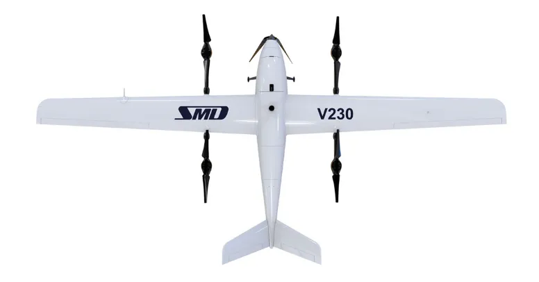
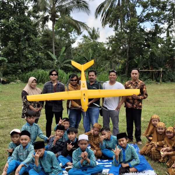
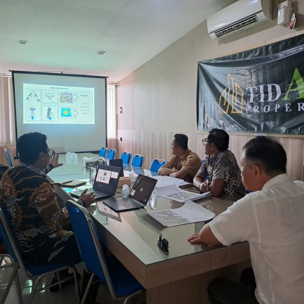
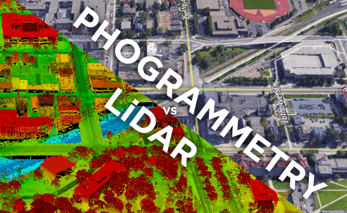
PT. Amerta Geospasial Indonesia (AMGEOID) is a leading geospatial company specializing in spatial data acquisition, analysis, and visualization. By integrating cutting-edge technologies such as UAV photogrammetry, LiDAR, remote sensing, and GIS, AMGEOID delivers innovative solutions across industries, including urban planning, environmental management, land administration, infrastructure development, and disaster mitigation. The company provides advanced geospatial intelligence for decision-making, sustainable resource management, and resilience planning.
Beyond industry applications, AMGEOID actively contributes to research and knowledge dissemination through the International Conference on Data Science and Geoinformatics (ICDSG), fostering global collaboration on geospatial innovations. Additionally, the company supports scientific advancements through the International Journal on Computers and Geoinformatics (IJoCG), a peer-reviewed journal publishing studies on computational geospatial methods and AI applications in geoinformatics.
With expertise in geospatial science, research engagement, and technological innovation, AMGEOID is committed to driving progress, improving decision-making, and supporting sustainable growth for industries and communities.